Distance: 2 miles approx
Time: 50 minutes
Grid Ref: SK149666
Post Code: DE45 1JJ
Terrain: Easy/Moderate (Mainly flat, with rocky outcrops in places)
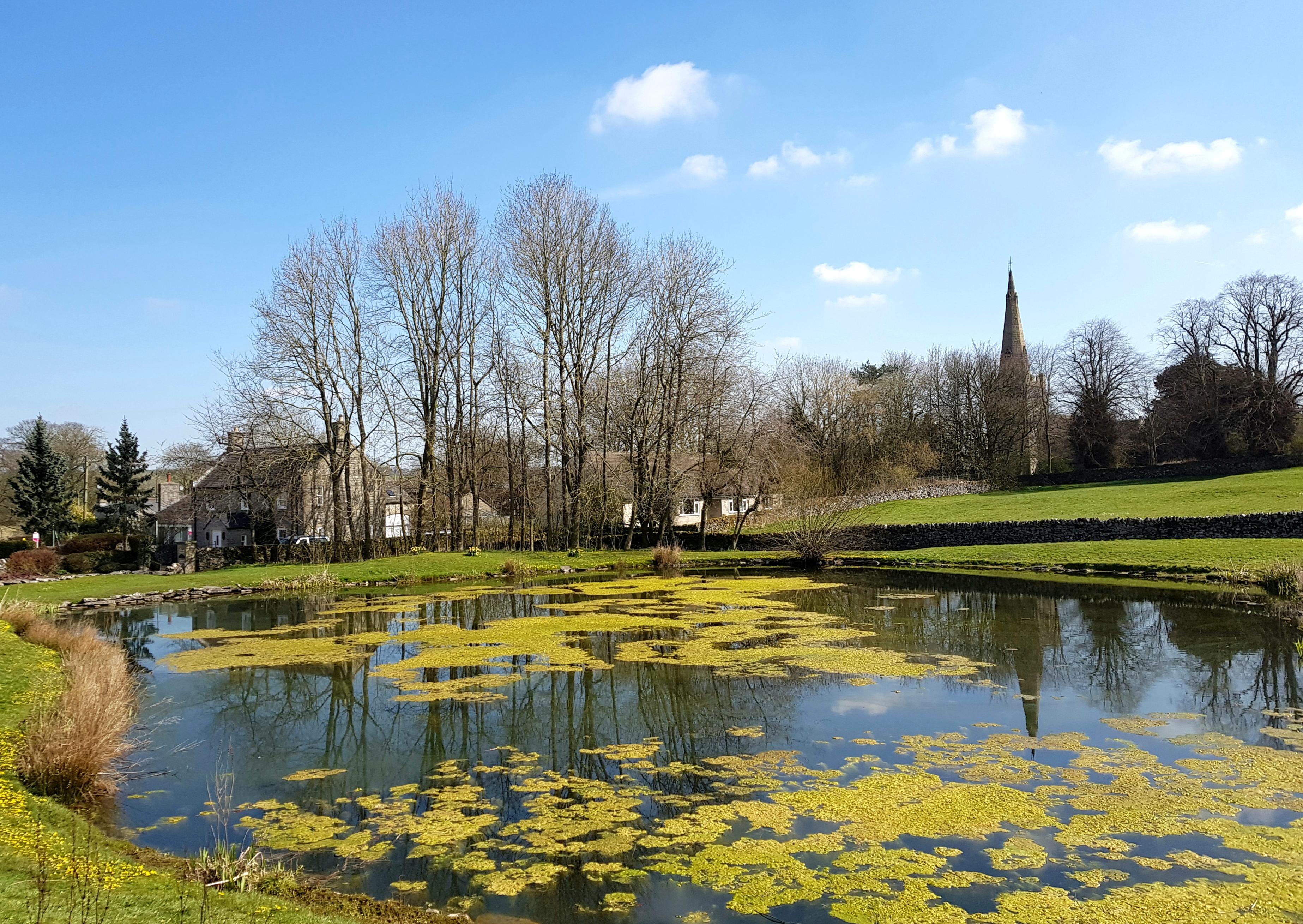
This walk starts off from Jack Mere car park in Monyash and follows the Limestone Way for a short distance before dropping down into Fern Dale and then walking back up through a short part of Lathkill Dale, before heading back through the village of Monyash. There are several handy poop bins to be found dotted all around the village.
Toilets: Public toilets (Seasonal closures October to Easter) at the head of Lathkill Dale in Monyash, where the dale meets the B5055 road.
Refreshments: the Old Smithy Tea Rooms and the Bulls Head pub in Monyash.
Directions:
- Park in Monyash village car park, also known as the Jack Mere car park. With your back to the car park turn right into Chapel Street and walk towards the village crossroads.
- Cross the crossroads signposted Newhaven, Youlgreave and the Limestone Way.
- Continue up Rakes Road, past the village mere. (Poop bin located here if required).
- As you get to the end of Rakes Road, keep Manor House Farm on your left, and turn left (signposted the Limestone Way). The track is also known as Milkings Lane. You’ll see yet another poop bin!
- Continue along Milkings Lane. You can now let your dog off the lead as it has become a walled track.
- The path eventually narrows and you will have to pass through a wooden gate which leads into a small meadow. Your dog may need to be on a lead at this stage as stock often graze in the surrounding fields.
- Walk along the path with the stone wall on your right until you reach a sign where the Limestone Way diverts to your right. Ignore the Limestone Way and continue straight on (you will see a National Trust sign for Fern Dale). Follow the white arrow which continues across the field. You will walk along a well trodden path as it curves down to the left and into a little dale called Fern Dale.
- Walk through the dale towards a gap in a small stone wall which you follow the path through. You will arrive at another gate, walk through and continue down through the dale.
- Eventually you will come to the end of the dale (effectively a T Junction). Turn left and walk up through Lathkill Dale passing through the gate and following the yellow public footpath arrows. Please be aware of cattle grazing in these fields.
- Head up through the dale towards the next gate, walking towards the road. Public toilets are on your left, (seasonal closure from Oct – Easter each year).
- Turn left onto the road and walk back up Church Street through the village towards the car park, stopping off at the Bulls Head or the Old Smithy Tearooms for refreshments if you wish.
You can extend the walk
To Extend your walk (with the aid of OS Map OL24 for the White Peak):
When you arrive a point 9 in the walk, instead of turning left and heading out of Lathkill Dale, you can turn right and walk deeper into the dale. The terrain becomes much rockier and difficult in places – take care when wet – however the scenery is spectacular. If you wish, you can walk the full length of the dale through to the small hamlet of Alport. With the aid of an OS Map OL24 for the White Peak, you would be able to navigate back through Bradford Dale (perhaps stopping off at Youlgreave for lunch) and then linking back with the Limestone Way to head back towards Monyash. This walk would not be for the faint hearted, but if you like putting some miles under your belt, then this could be for you.
Please note that there are some affiliate links attached to this post. This means that I will earn a small commission if you click on the link. You will not be charged for this, it just helps me maintain the website.